
Information about the fire hazard and evacuation was shared on social media. Photo: Facebook
Residents of a second town near the Alberta-Northwest Territories boundary were ordered to evacuate to safety Sunday evening due to encroaching wildfires, with a new fire meaning the only route out for one of the communities was by air.
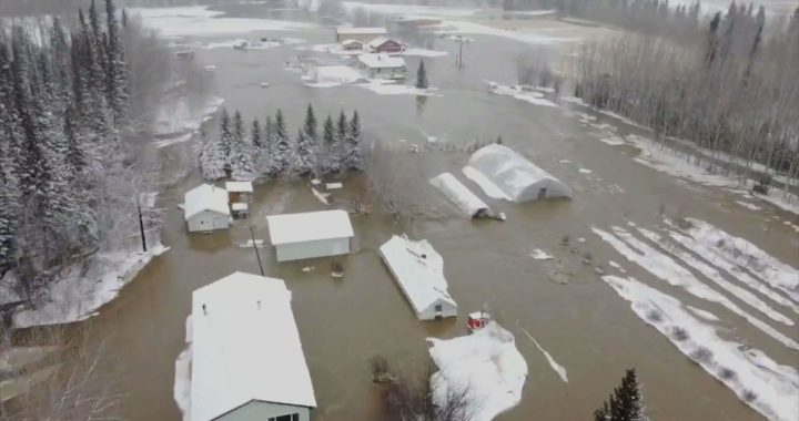
An evacuation order was issued for residents in Hay River, NWT, earlier in the day, due to the risk of a wildfire that was approximately 60 km away at the time.
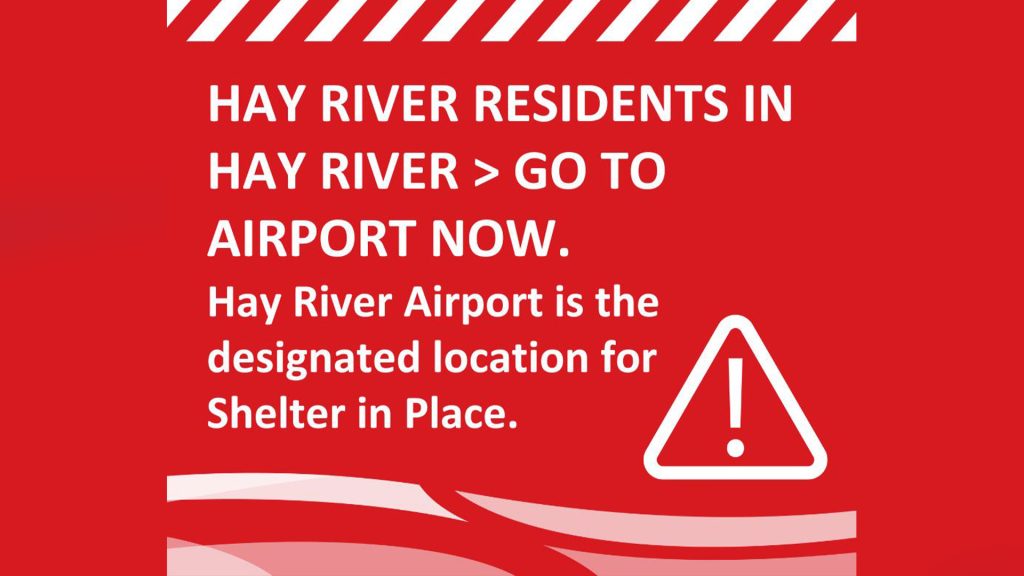
Hours later, an update on Hay River’s Facebook page said a fire had started near Paradise Gardens and Garden Road, impacting outbound traffic. It directed residents to instead evacuate to the Hay River airport for evacuation by air.
Another update nearly an hour later said data and voice communications to Hay River through service provider Northwestel had been compromised, limiting emergency responders’ communications, as well as to the public.
“Those in Hay River should muster at the Hay River airport,” the town’s last update said. “Air transportation is being arranged for this evening.”
Evacuation orders
The Northwest Territories government noted online that evacuation orders were also in effect for Enterprise and K’atl’odeeche First Nation because of the impacts of a fire on evacuation routes. The community of Kakisa was also placed on an evacuation alert, with residents advised to be ready to leave on short notice.
It said the lightning-caused fire was approximately 27,000 hectares in size and increased fire activity due to extreme winds pushed it within two km of the highway.
Earlier in the day, transportation authorities in the Northwest Territories said the highway out of another community near the Alberta boundary that was being evacuated due to wildfire had closed.
Authorities had been warning that Highway 5 into Fort Smith could be shut as nearby fires continued to burn, and on Sunday afternoon the territory’s infrastructure department said the route was no longer open.
Evacuation orders were issued Saturday for Fort Smith, with a population of about 2,000, as well as for Smith’s Landing First Nation and the Alberta hamlet of Fort Fitzgerald.
Video online
Fort Smith Mayor Fred Daniels said in a video posted online shortly before the highway shut that its closure could be imminent, and that the last evacuation bus would leave the community at 2 p.m. local time.
“Thank you for the awesome evacuation. It went smoothly,” Daniels said, while also thanking firefighters, EMS and wildfire crews.
“You’ve done a heck of a job.”
Daniels also noted the winds in Fort Smith were “really picking up” and that it would likely get very smoky in Fort Smith.
The town posted online that anyone remaining in the community should now shelter in place.
Hay River
Highway 5 connects Fort Smith and the other evacuated communities with Hay River, near the south shore of Great Slave Lake, where many evacuees were being taken before that town was evacuated.
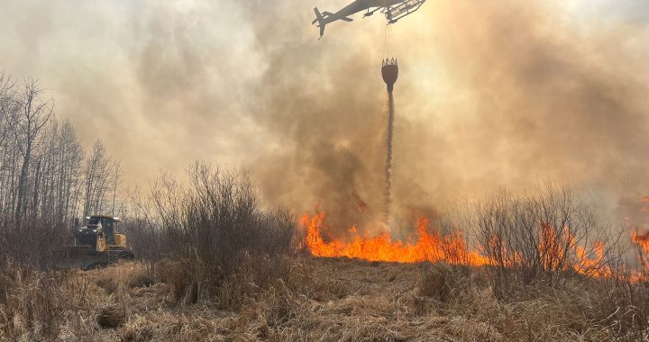
Several fires are burning in the vicinity but the ones that prompted the evacuation order for Fort Smith, according to an update issued by NWT Fire on Saturday evening, are the Wood Buffalo National Park wildfires.
Those fires are being fought by Parks Canada as well as firefighters from Alberta and the NWT.
Alberta Wildfire noted in an update Sunday afternoon that the Wood Buffalo fires are 432,320 hectares in size and are approximately 25 to 35 km west and southwest of Fort Smith.
“Due to predicted weather and extreme fire behaviour over the next few days, a number of precautionary evacuation orders have been issued. While no communities are imminently threatened by this wildfire, there is concern over access via Highway 5, which has now been closed,” the Alberta update said.