

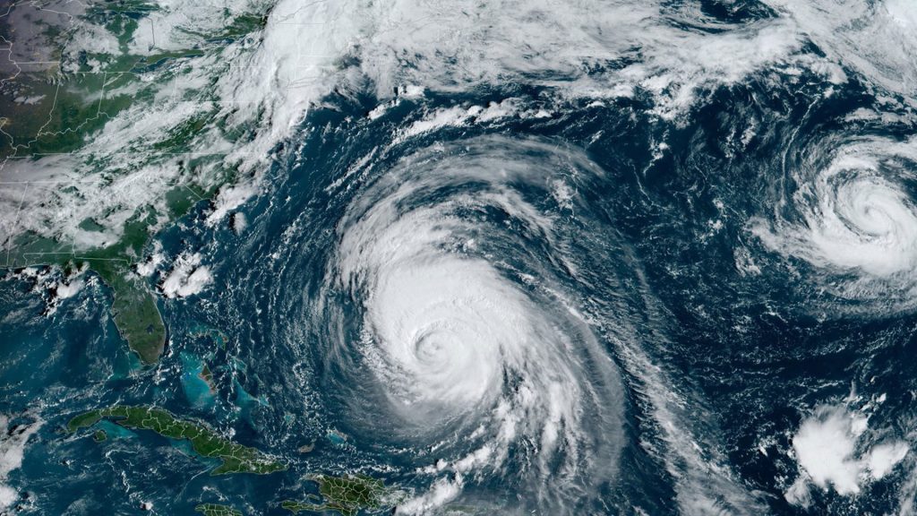
This satellite image provided by CSU/CIRA-NOAA shows hurricane Lee in the Atlantic Ocean on Wednesday, Sept. 13, 2023. The Canadian Hurricane Centre in Halifax is forecasting a "somewhat faster approach speed" and a sooner arrival time in western Nova Scotia and southern New Brunswick.
Hurricane Lee is threatening to make a faster and windier landing in the Maritimes than earlier forecasts predicted.
Chris Fogarty with the Canadian Hurricane Centre says the storm may feature a “somewhat faster approach speed” as it passes Cape Cod and arrives in western Nova Scotia and southern New Brunswick on Saturday or early Sunday.
As of 8 a.m. local time, the storm was in the northern Caribbean, ranked as a Category 3 hurricane and located about 765 kilometres south-southwest of Bermuda.
Lee is forecast to keep travelling north and lose strength in cooler waters before potentially making landfall in Canada as a tropical storm.
However, Fogarty’s forecast says the storm could land with stronger winds than had been predicted earlier in the week, which would increase the threat over western Nova Scotia and southern New Brunswick.
The Canadian Hurricane Centre says it will provide updates later today on potential storm surges around the Bay of Fundy, and projected wind speeds.
As of Tuesday, the weather service projected the storm could dump between 50 to 100 millimetres of rain on some areas.
The heaviest rain typically falls on the left side of the storm’s track — which the hurricane centre said would likely be in western New Brunswick and northward into eastern Quebec.