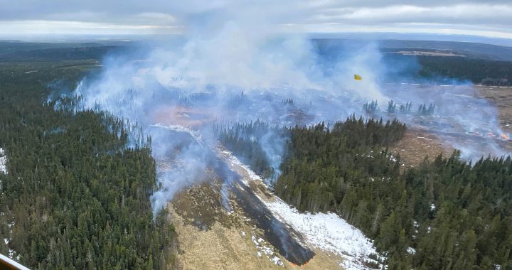

The regional district of Kitimat-Stikine has issued 100 evacuation notices for 100 properties in Old and new Remo near Terrace B.C. The flooding has also blocked road access for most Nisga’a communities.
Last week, the Skeena River’s water nearly touched the bridges.
It is the second-largest river system in B.C.
Nearby, the Kitsumkalum River overflowed its banks, which led to the closure of parks and a boat launch.
Another river swelled in the region. The Nisga’a Lisims Government posted images of the Nass River overflowing on the Nisga’a – they advised members not to travel.
On June 4, Anthony Moore, the nation’s emergency response manager, said the floods cut off three of their four communities from Terrace.
“It reached its peak about approximately three o clock yesterday to the point where the ministry of transportation decided to close the road to smaller vehicles and SUVs, “ Moore said about the flooding in a phone interview with APTN News.
“They had plans to close the road at ten o clock in the evening as the water levels were very difficult to navigate to ensure that you were on the road.”
Moore said the flooding in their area is due to high snowpack levels this year, followed by warm weather and heavy rains.
“We had about 134 per cent snowpack this year, where it has typically been over the last couple of years been 70-80 per cent snowpack,” he shared. “We had more snow this year, so that has played a definite role in the water levels rising and the river rising.”
On Friday, the province’s River Forecast Centre issued BC Flood and Warning notifications with updates for Northwestern B.C.
The upper Northwest received a flood warning, and the lower section, including the Nisga’a, Prince Rupert and Terrace regions, all received flood watch notifications.
Moore said he has only got to see flooding like this a few times in his life, but said he Nisga’a communities were prepared.
“They’re all fully aware of the situation; many of them have dealt with it in the past. They have seen this type of water flow in the past and know how to deal with it, and we’re fully prepared to be able just to stay home and be safe.”
Large sections of the Nisga’a highway remained closed from into the weekend.
Moore is proud of the way his community handled this part of the flood season.
“This is flood season, and with the snowpack we had, we were anticipating a decent flood season this year, so in a way, we were already preparing for it, which saved us a lot of effort in planning,” he said.
The Nisga’a highway was re-opened on Saturday after the water levels went down.
On Monday, the province downgraded the previous warnings for the Northwest.
They issued lower-level warning called a High Streamflow advisory for northeastern parts of the B.C.